


Canada Map – Canadian Travel Map
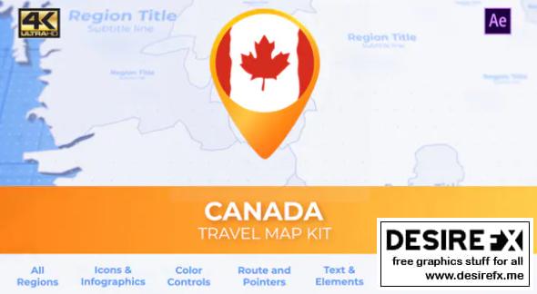
Canada Map – Canadian Travel Map
This is the best set to create travel videos about Canada Map – Canadian Travel Map
Canada is a country in the northern part of North America. Its ten provinces and three territories extend from the Atlantic to the Pacific and northward into the Arctic Ocean. Geographical interface is a complete video advertisement solution You can create your own animations!
Canada’s southern border with the United States, is the world’s longest bi-national land border. Its capital is Ottawa, and its three largest metropolitan areas are Toronto, Montreal, and Vancouver. As a whole, Canada is sparsely populated, the majority of its land area being dominated by forest and tundra
Short description Canada Map – Canadian Map Kit allows you to make your own Basic Video/Blog/Presentation/regional/politic videos.
The provinces and territories of Canada are sub-national governments within the geographical areas of Canada under the authority of the Canadian Constitution. Canadian provincial and territorial name etymologies: Ontario, Quebec, Nova Scotia, New Brunswick, Manitoba, British Columbia, Saskatchewan, Alberta, Newfoundland and Labrador, Northwest Territories, Yukon, Nunavut.